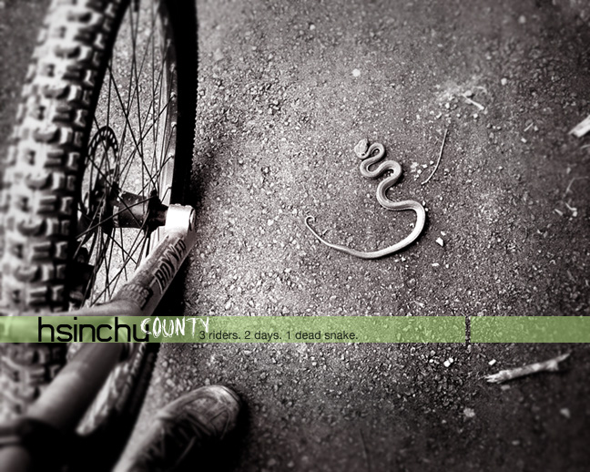
Hot springs, local aboriginals, 40 km of singletrack, mist covered mountains, bamboo groves, and a super sketchy suspension bridge.
Rumours of a hidden trail in the mountains behind Hsinchu sparked the attention of FFTA. A cryptic email and a study of assorted maps was the basis for an exploration one weekend. The team, comprising Patrick, Stephen, and John set off late on Friday night. Everyone was excitedly discussing the prospect of a 30km downhill single track as the FFTA Zace-mobile hit the highway. Then a nervous silence after John quietly announces that he’d forgotten the maps.
No going back now, and the group continued down the “Bei Er Gao” towards Judong, with John insisting that all the details necessary for success were safely inside his head.
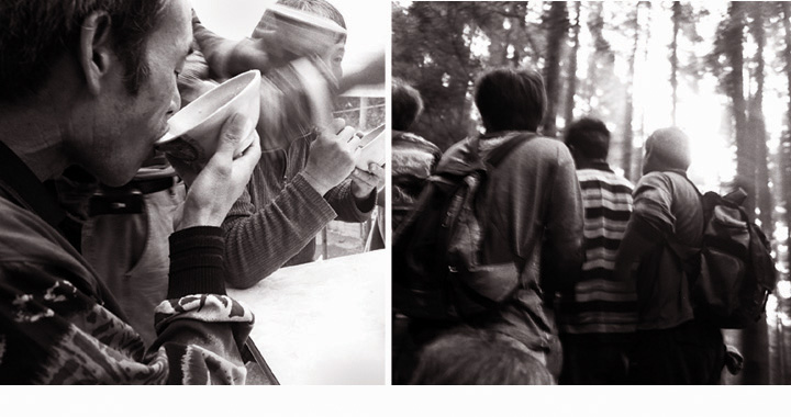
From Judong, a narrow mountain road ascends up to a village called “Qing Chun” at 600m elevation. The group finally arrived at 2.00am, and were disappointed to discover that the town wasn’t filled with locals drinking and singing throughout the night, and eager to offer immediate information about the location of the trail. Instead the streets were completely deserted, and after wandering around in confusion for 20 minutes, the group finally settled on the local school running track for a place to camp.
John awoke first, to the sight of a friendly school caretaker who immediately started to tell stories of how various people had done this trail in the past, only to be never seen again. It would probably be the same for the FFTA group, since the route planned was an A to B journey, returning in a circuit to Qing Chun only to pick up the car.
An immediate start was necessary. Qing Chun seemed in no rush to wake up, so following an inventory of muesli bars, the decision was made to drive straight up to the trail-head on the narrow road behind the village without waiting for breakfast places to open.
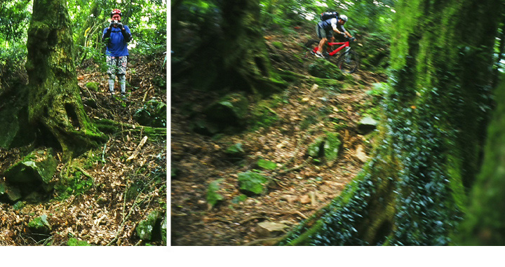
The road was fairly easy to find, and is an historical path (“Shi Lu Gu Dao”) which follows a ridge over “Xia Ke Luo Shan” mountain. The trail starts at 1600m elevation, and an old Japanese police checkpoint is located at the halfway point. After chatting with friendly workers who were already at work completing the construction of a hiking track at the road end, the FFTA set off slowly on their heavy full suspension bikes.
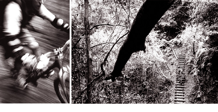
It was necessary to first climb to a pass at around 2000m. During the climb and carry, the boys began to wonder what the trail on the other side would be like, and whether the water bars laid across the track at regular intervals would make good launching pads, or instead be nothing more than irritating speed bumps.
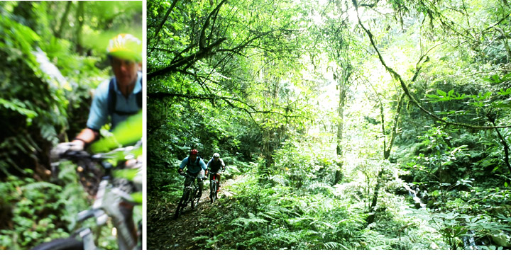
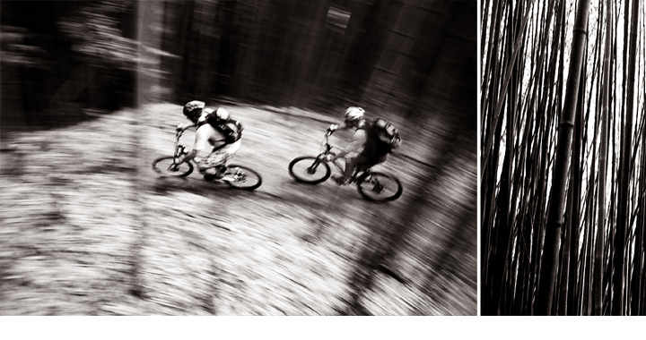
Finally after two hours, the group arrived at what appeared to be a pass. The weather was chilly, and the light daypacks and supplies they were carrying now seemed hopelessly inadequate. From there the trail continued level for some time but with slowly increasing downhill burns. Popping over the water bars proved easy enough with no restrictions to speed. Pretty soon the group were sliding faster into the narrow turns, and looking for opportunities to launch off rocks and ledges. The exchange of wide grins after the first few runs confirmed that the journey was already worth the effort.
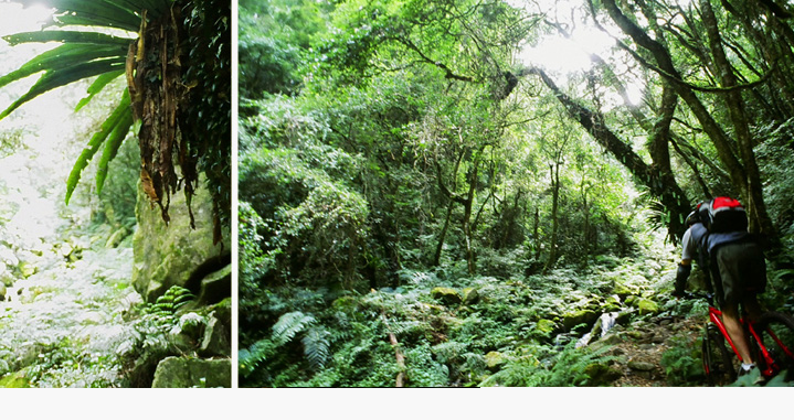
High-speed fun on the trail was punctuated with a number of stream crossings and resting spots that were strikingly beautiful. Eventually the group arrived at the ruins of the abandoned police checkpoint, and the trail angled down steeper with the promise of an even more exhilarating downhill blast.
After exploring the ruins they continued on, and leaping off the clearing, they attacked the remaining trail with enthusiasm. This proved to be the highlight of the trip with a long, continuous single track winding down the mountainside. The judder sound of suspension and the crackle of leaves was almost hypnotic as they screamed around corners and into yet another downhill.
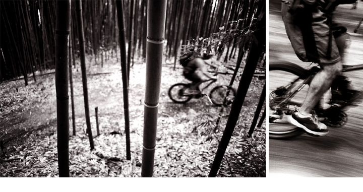
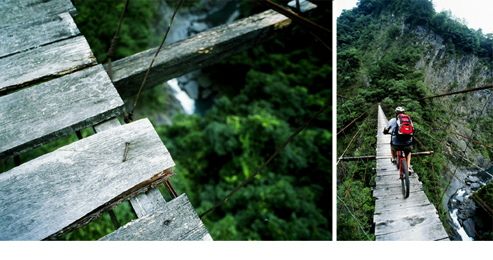
Skidding to a halt after a final blast through a bamboo forest, the group arrived at the BaiSha river, with an “Indiana Jones” type bridge swaying precariously above. Patrick was first, and he crawled across nervously with one hand clutching the side wires while slowly picking his way through loose and cracked boards. John decided he didn’t want to spend any more time on this bridge than was necessary, and immediately raced across on his bike without daring once to look over the edge. Stephen followed in similar fashion, with his eyes fixed firmly on the suspended platform: arriving on the other side with a nervous grin.
This seemed like a fitting climax to a great downhill trail, and the group celebrated by finishing off the remainder of their muesli bars and dried fruit. The remainder of the track was generally level for several kilometres, and they eventually fell out onto a sealed road and the beginnings of civilization.
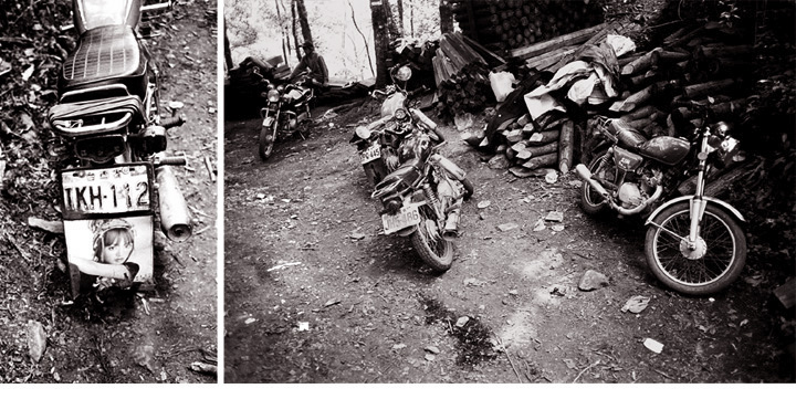
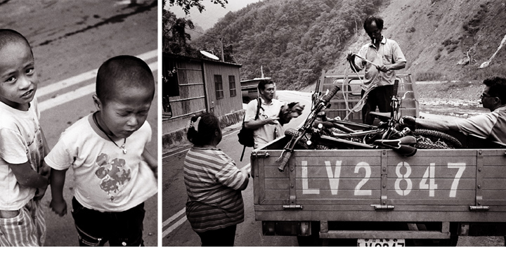
Arriving in Sholan late afternoon, the group hired a truck to take them back over the mountains to Qing Chun. In spite of the binglung induced hyperactivity of the driver’s children, the trip over the mountains at dusk was a pleasant and memorable end to the journey.
Arriving once again in Qing Chun, the lack of sleep and food finally took it’s toll, and rather than trying to retrieve the car the same night, they decided to stay a further night in the town. This time the locals were singing and partying, but the FFTA team was maxed out and already unconscious on the floor of a tatami room. The following day they headed out of Qing Chun and straight to the nearest MacDonalds before cruising back to Taipei.
Photography by Stephen Wilde.

Trail name Stone Deer Trail
Location Hsinchu, Wufeng District
Terrain Singletrack
Length 55 km